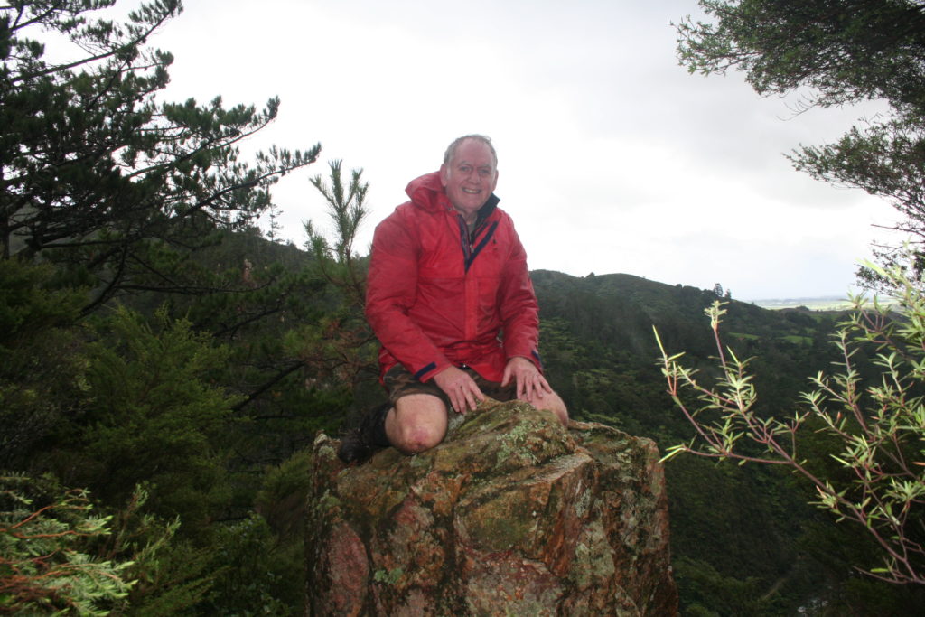
BobJ.Kiwi
Stoat Trap Data Display
You have probably seen the large images at Whakahoro that show trap locations and catches over the years? Have you ever wondered how they are made? Or would you like to have your own copy to explore? Well it’s pretty easy to do on your own computer. No need to ask for permission and No, there is little chance of stuffing anything up. Its fun too!
First you need a copy of the Google Earth (GE) program on your computer. You can get a free copy from this address:
http://www.google.com/earth/download/ge/agree.html
Choose the version for your computer and operating system (Mac, PC or whatever), download it and get it running.
Next you need a copy of the ‘Whakahoro Trap Data Viewer’. This little program will ensure that you can always access the latest data available.
This can be obtained from here: Whakahoro Trap Data
Going to that address with your internet browser will download a small file for Google Earth. Save that file somewhere you will remember on your hard drive (or open itr with Google Earth) and you can then load it using Google Earth’s File Load command.
You will now be able to explore the Whakahoro area and observe the trap data and many images of the traps themselves by zooming in using GE’s controls at the top right of your screen.
The KML files in this Google Earth project are generated using Microsoft Visual Basic 14.7.7 to combine various excel files with the raw data. Unfortunately the MS broke the code when they went to later versions

Bob Jordan, 20 August 1947 – 12 June 2019
Science, Maths and the great outdoors were always great passions of Bob’s and turning the data from the various traps dotted around the Whakahoro Area near Rutaruke managed to combine all three.
How to use the Google Earth Trap Data Viewer
Bob Jordan 23 August 2017.
The trapline viewer allows you to explore the locations, catch data, sponsors and various images for the traps installed at Whakahoro. You can also fly along the different lines using the power made available in Google Earth.
To get this far you have successfully installed the Trapline kml link file ‘WhTrapsDemo.kml’.
To make the file remain in your copy of Google Earth, right-click or CNTRL-click the Trap Viewer Link ‘Whakahoro Trap Data Viewer’ and perform a ‘Save to My Places’ command, or simply drag the Link to ‘My Places’. If you don’t do this you may need to reload it each time. Note that the Viewer will reload the latest trap data automatically each time you run Google Earth.
To fetch the latest data, perform a Rt-click (PC) or Ctrl-click (Mac) on ‘Whakahoro Trap Data Viewer’ and select Refresh
To zoom to a full view of each Trapline or the full set of trap Lines double click the appropriate Trap Folder in the Places panel.
You can view individual trap data by finding that trap on the Google Earth Image, and clicking the trap Icon. This will show all details of that trap. Note that if there are other icons close by when you click the Icon you may see an expanded view of the local icons from which you can select the particular one you want.
To view details of the Sponsors, click the Gold Surrounds of the sponsored traps. These will also show images of the sponsored traps. To find a specific sponsor open the Sponsors folder at left, search for the sponsor of interest and double click that icon.
You can temporarily turn off the display of any Trapline or Catch Species by unticking the Folder’s tick box.
Note that the Species folders shows species data for all trap lines.
Traps are sized to be viewed from about 2km above them. To see them at this view adjust the zoom using the slider at the right of the Google Earth 3D view until the ‘Eye alt’ is about 2 km.
To zoom to a close view of a single trap, double click the trap, or a point nearby in the 3D view.
To fly along a trap line, first select the appropriate Trapline inside the Flybys Folder in the Places panel by clicking it once and then press the ‘play tour’ Arrow button (just below and to right of the Places panel).
Note: you may need to press the stop button before starting a different tour.
Flyby’s
Some preferences need to be adjusted to make Flybys work best.
These can be found in the Google Earth/Preferences (Mac) or Tools/Options (PC) menus. Set the following values initially, but adjust them to suit yourself.
- 3D View: Labels/Icons Size=Small, Elevation Exaggeration=1.0, Show terrain should be ticked
- Touring: Camera Tilt Angle=45°, Camera Range=500 m, Speed=100.
More Information
For further information about the trap data, or of this Google Earth implementation
Contact: Simon Jordan, Email: info@resilientit.co.nz, Phone:+64 275 638 236
For further Information on things happening at Whakahoro, or at Blue Duck Station
Contact: Dan Steele, Email: info@blueduckstation.co.nz, Phone: +64 7 895 6276 Or visit the Blue Duck Station website
The New Zealand Department of Conservation (DOC) are also heavily involved in the area and administer many of the traps shown here.
Contact: Jim Campbell of the Wanganui Office of DOC, Email: jcampbell@doc.govt.nz, Phone:+64 6 349 2100 or visit their website
